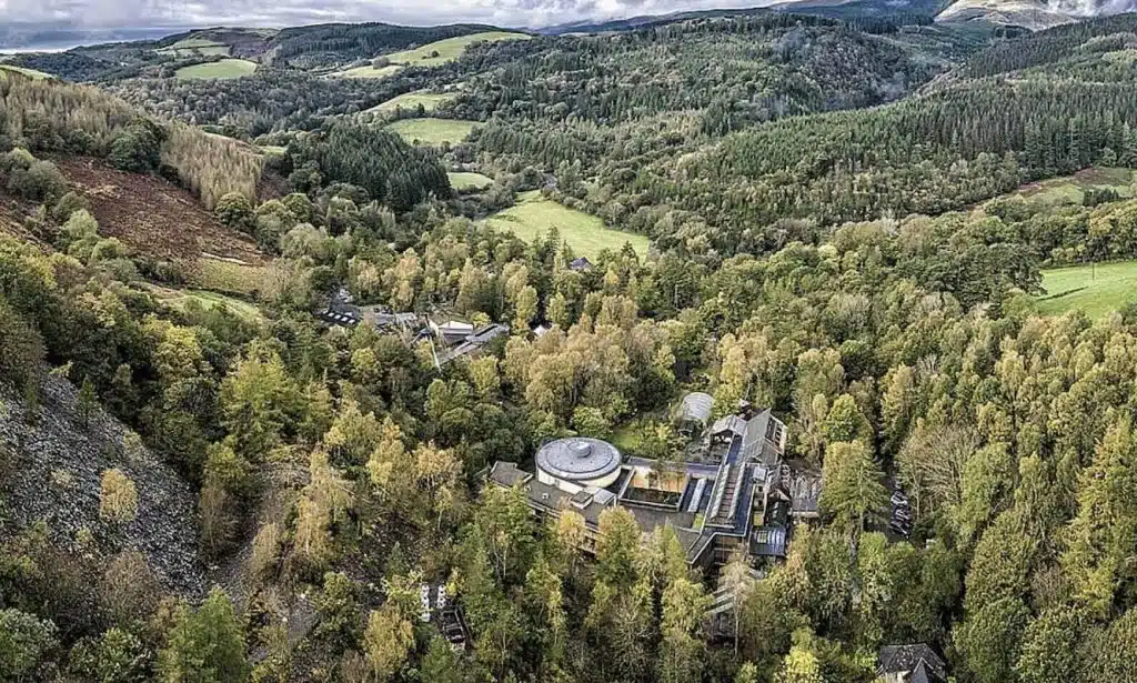
A full guide to hiking the Pyg Track, Snowdon, with all the information you need to prepare for the trail
This stunning hike takes you to the tallest peak in Wales and is found in Snowdonia National park. To reach the summit, the Pyg Track is the most popular of the Snowdon hiking routes due to its ease of navigation and the incredible views as you ascend. It’s great for families or less experienced hikers who want to make the climb but equally enjoyable for those with many peaks under their belt as the vistas really are breathtaking!
Having done a lot of Snowdonia walks and making this ascent a bunch of times ourselves, we noticed it was hard to find reliable hiking info online and. So, we put together this complete guide to climbing Mount Snowdon which has everything you need. From one hiker to another 😉
In this guide you’ll find:
- Hike details and why it’s called the Pyg Track
- Hiking Q&A
- Why hike the Pyg Track?
- Climbing the Pyg Track
- Coming down
- How to get to the Snowdonia National Park and the trailhead
- Accommodation near the Pyg Track, Snowdon
- Amenities to be found around the peak
- What to take with you hiking
- PLUS MORE!
1. About the Pyg Track, Snowdon
The Pyg Track, also known as the classic route, the Pyg Trail or the Pyg Path is the most popular option for those who would like to summit the tallest peak in Wales.
It’s a simple route to follow as it’s well maintained and a frequently trodden path. This does mean, if you’re looking for solitude this isn’t the best option. The Ranger’s Path, Miner’s Track and Llanberis Path are all alternatives of similar difficulty.
2. Why is it called the Pyg Track?
There’s some controversy around how the name Pyg Track originated (not everyone agrees…).
One theory is that it’s named after Bwlch y Moch (the pass of pigs) as this path crossed the route. Others believe it was named pyg because the path was historically used to carry pyg (black tar) from the Britannia Copper Works in Cwm Glaslyn. Another theory is the path is named after Pen y Gwryd Hostel by climbers who made the ascent and stayed at the hostel.
Depending on who you ask you’ll get a different answer but there’s something mysterious about nobody really knowing though, don’t you think?
Have you heard a different story about the origins of the name? Tell us in the comments at the bottom!
3. The Pyg Track hike info
- How long is the Pyg Track: 7 miles round trip
- How long does the Pyg Track take: 5 – 7 hours
- What is the height of Snowdon: 1,085 meters
- How much elevation do you gain: 723 meters
- How hard is Snowdon to climb: the Pyg Track is easy/moderate
4. More Snowdon hiking Q&As
Q. When is the best time to hike the Pyg Track? You can hike between March to November. Outside of this time expect wintery conditions and it’s advised only the experienced opt for winter hiking. Visibility can be poor, snow and ice can cover the path.
Q. Is the Pyg Track suitable for children? Yes, as long as they are fit and supervised
Q. Is the Pyg Track dangerous or exposed? The hike is steep and relatively tough but not exposed or dangerous.
Q. What is the weather on Snowdon like? Rainfall is fairly high throughout the year but summer sees the best chances. Conditions can change quickly. Find more info below!
5. Why climb Snowdon via the Pyg Track?
Though it can be a long slog, the Pyg track is the simplest way of walking Snowdon and it takes you through the heart of Snowdonia National Park.
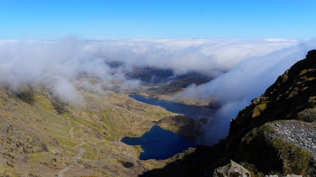
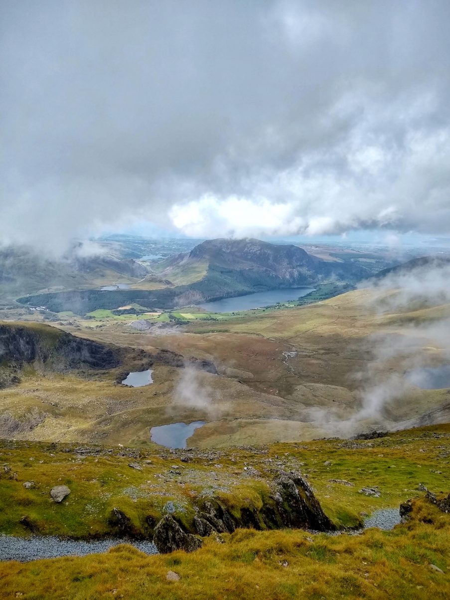
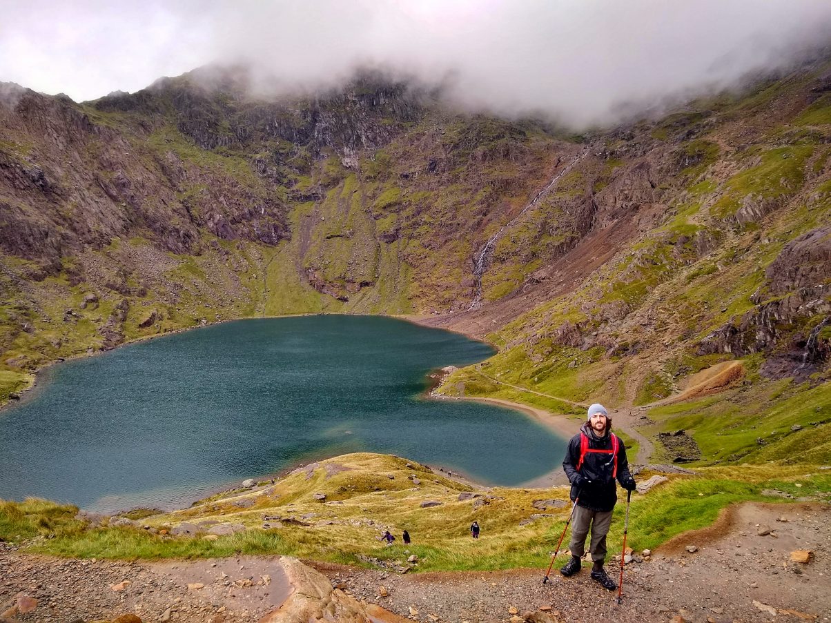
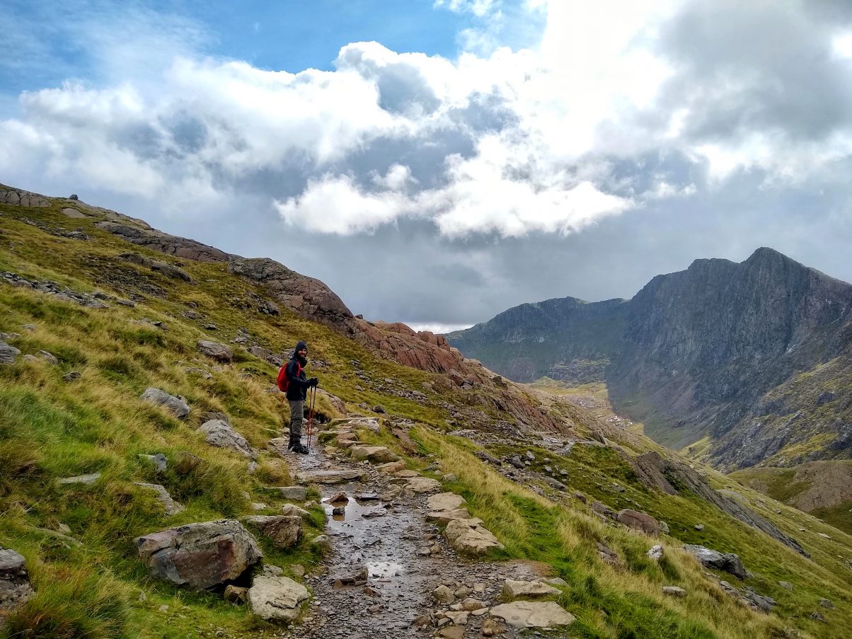
And it’s not just its ease. Of the easier Snowdon routes, the Pyg Track offers absolutely awesome views of the towering mountains: Crib Goch and Y Lliwedd either side of the track. Not to mention incredible views up high of the deep blue Snowdon lakes: Llyn Llydaw and Glaslyn.
There’s a refuge at the summit to get yourself a well-earned cuppa or brew and enjoy the panoramic view from the mountain top. There is also the Snowdon Mountain Railway that operates from the summit to the base of the peak. This is a popular choice amongst families wanting to meet elderly relatives at the top or if you feel too pooped to make it back down.
Want to hike Snowdon but don’t have much experience? Our 10 Hiking Tips might be useful!
6. The way up the Pyg Track to Snowdon
The Pyg Track starts behind the Pen-y-Pass car park heading West, gradually gaining height. The path is marked with a wooden post and a blue sign with “Pyg Track”.
The trail runs parallel to Carreg Gwalch, a closeby peak, towards the East Ridge of Crib Goch (a grade 1 scramble – not for the faint-hearted). Continue on the path for 1 mile until it splits below Crib Goch remaining on the Pyg Track route which is clearly marked.
For the next roughly 1.25 miles the trail leads east, nestled between the ridge of Crib Goch above and Llyn Llyydaw Lake below. At this point, on a clear day, it may be possible to see the summit.
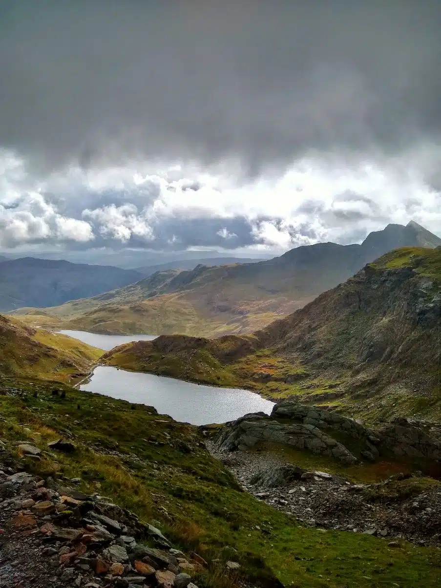
The route then takes you through to the basin of the Snowdon Horseshoe with amazing views of the surrounding mountain peaks: Crib Goch, Y Lliwedd and Crib y Ddysg.
The route continues through the Cwn with some rocky sections and approaches the smaller lake of Glaslyn beneath the summit. The path then meets the cross-section between the Miner’s Track and the Pyg Track where you’ll find a large stone marker.
Shortly afterwards the terrain becomes steeper and more challenging, zig-zagging up towards the summit with Garnedd Ugain (another beautiful peak) on your right.
As the trail reaches the top of the mountain it joins with the Llanberis Path running alongside the mountain railway line.
From here, the Llanberis, Pyg Track, Miners, Ranger and Crib Goch routes all join as the trail approaches the summit. This section of the hike can become very busy during peak season so do take care. The final part of the ascent is very gradual, leading you along a path until you reach a set of steps winding all the way to the summit.
Once there give yourself a pat on the back as you’ve reached the highest point in Wales!
7. Descending Snowdon
To go down, you can take the Pyg Track back or if you could follow the Miners’ track if you fancy a change of scene.
Leaving the summit, follow the path with the railway on your left until you reach a turning on the right marked with a stone marker leading down to the Pyg and Miners’ Tracks.
Turning right here leads you back down the steep zig-zag track you used coming up towards Glaslyn path. Once you’re about halfway down the path splits. Take the right-hand path which leads you down a steep sloop to reach the edge of the lake away from the Pyg track.
The Miners Path then meanders around Llyn Llydaw, passing some disused mining buildings. It crosses the lake with a gradual descent until you reach Lake Llyn Teyrn. From here the final 1 mile of the track is a casual stroll with beautiful views of Y Lliwedd behind you and the Glyderau mountains directly ahead. The route takes you back to the Pen-y-Pass car park where the trail started.
There are plenty of other great hikes around Snowdonia, you can find more here
8. How to get to Snowdon and the Pyg Track
As mentioned on the trail information, the Pyg Track start point is at the Pen-y-pass car park. The information below will help get to the car park.
Travelling to Snowdon by car
There is a car park available at Pen-y-pass but this fills up quickly, often before 7am! There is also parking in Llanberis where the Snowdon Sherpa bus service runs from the village to the Pen-y-Pass, costing £2.00 and only taking 15 minutes. Although some do, it’s not advised to park on the roadside and walk as there is no path and the roads can be dangerous.
Travelling to Snowdonia National Park by public transport
There are a number of train stations near Pen-y-pass however only the Betws y Coed station operates with the Snowdon Sherpa bus service which takes you directly to Pen-y-pass.
Travelling by bike
Cycling the route is possible but be forewarned there is a mighty hill as you approach Pen-y-pass. Getting off at Betws y Coed station follow the A5 and A4086 for 10.7 miles, it’s clearly signposted.
9. Accommodation near Snowdon
The Pen y pass hostel is a Youth Hostel and being so close to the start of the trail makes it a popular choice amongst hikers. This is also the hostel that could have given the name Pyg Track to the trail!
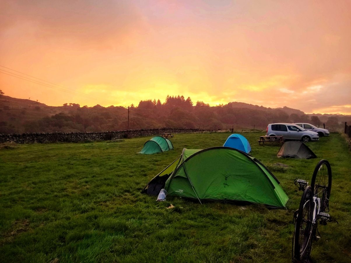
For all you happy campers there are also a number of local campsites near Snowdon. We recommend Bryn Tych Farm Campsite as it’s close to the trail and where we chose to stay when we did our three peaks challenge by bike. The campsite has a washroom with toilet and shower facilities and the local surrounding of rolling hills are a beautiful sight to wake up to.
10. Local amenities near Snowdon
At the base of the trail, there is the Pen-y-pass cafe that serves a range of hot drinks and snacks to pick up before climbing Snowdon. As you leave Pen-y-pass and travel towards Betws y Coed there is a small newsagent a few miles down the road with confectionary, snacks and drinks.
As you return to Betws y Coed there are a range of cafes as well as a Spar and Londis that have a wider range of products including fresh fruits and vegetables. It’s a better idea to stock up here as it’s cheaper.
11. What to take hiking Snowdon
Not sure what to take or what clothes to wear? You’ll find lots of information on our Hiking Packing Guide, which includes:
- Hiking essentials (the stuff you should always take with you)
- Hiking clothes for summer and winter
- Hiking Boots
- Medical and safety gear
- Food and water
- Extra bits and sustainable considerations
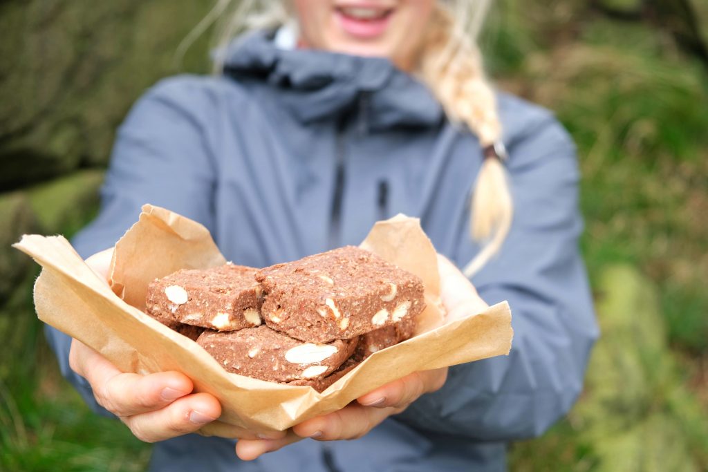
For food, this list of vegan hiking food has lots of snack ideas to pack in on the trail.
12. How to navigate the Pyg Track
It’s generally advised when hiking in the UK to take a map and compass to navigate your way. That being said, the Pyg Track is very well signposted and a popular route, particularly in the summer, so navigating is very straight forward. There is always a clear track in front of you however there are splits and other joining routes to be aware of.
You can use GPS maps such as Maps.Me as it’s free and perfect for hiking in the UK.
During the winter months, you will need to have good navigation skills as visibility can be very low. It could be dangerous to hike without such abilities.
13. When is the best time to hike Snowdon
- March – April expect wet and windswept conditions.
- May brings cool temperatures but not as wet as previous months.
- June is warmer and an ideal time to go as conditions are good and it’s just before the summer crowds make an appearance.
- July – August are the best months weather-wise but also the busiest. At this time of year the Pyg Track can be very busy with big crowds at the summit.
- September – October brings cooler temperatures and fewer crowds making it a more favourable time to hike.
- November – March conditions during this period can be very wintery and icy. Hiking between these months is only advised to experienced hikers with the skills and knowledge to do so. You will need the right gear if you’re wanting to hike during this time
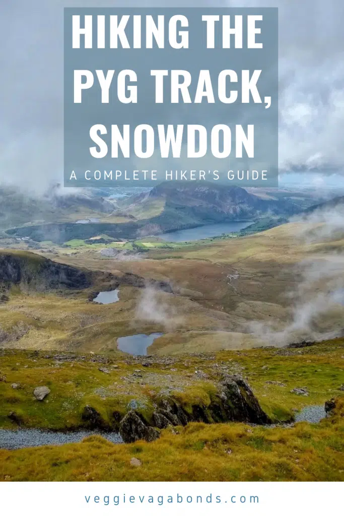
The Complete Guide to Hiking the Pyg Track, Snowdon
The Pyg Track is popular for good reasons. It is one of the most inspiring hiking trails in the UK, it’s easily accessible and simple to follow. From the summit the views are out of this world. What’s not to love!?
If you need any more tips for hiking the Pyg Track, Snowdon, just drop a comment below!
Keep exploring…
Our Guide to the Ben Nevis Walk in Scotland, UK

