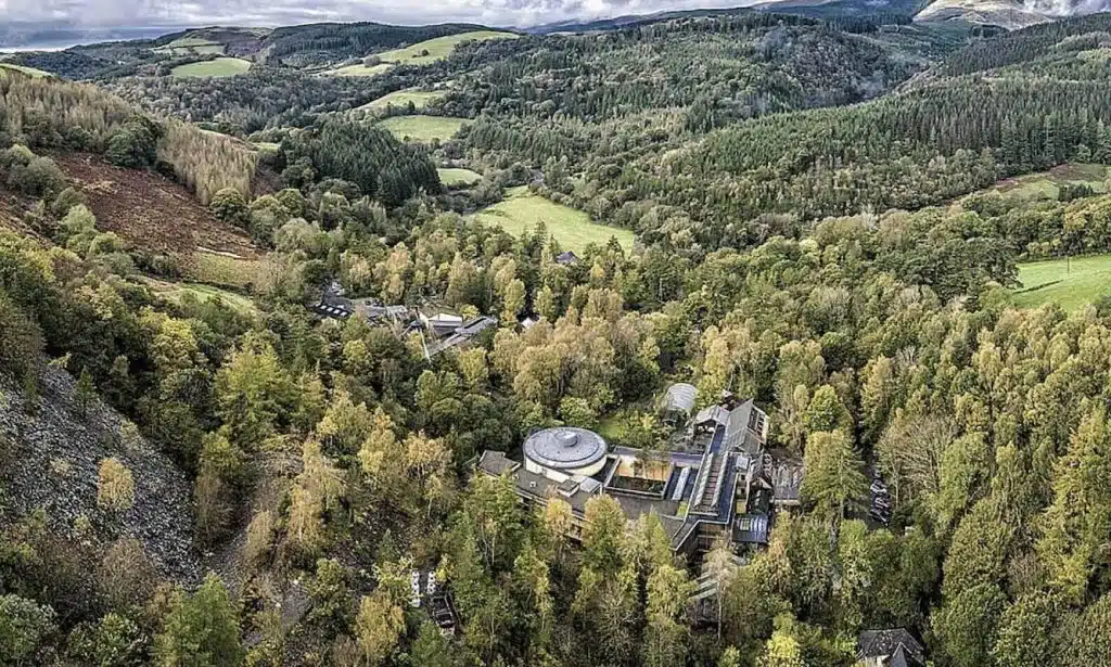
The Ben Nevis walk is one of the most iconic in Scotland and a hiking trail you’d be crazy to miss!
Ben Nevis is the tallest peak in the UK, attracting hikers from all over the globe. It’s easy to see why, with stunning views extending out for miles, on a clear day you feel as if you can see half of Scotland stretched out in front of your eyes. The hike offers breath-taking views of the surrounding mist-shrouded peaks and glistening valleys, all the way to the Isle of Skye.
The Mountain Track is the most popular Ben Nevis hiking route and is suitable for all ages. The trailhead is easily accessible from Fort William (the closest town) and there are a few parking options as well as good public transport. The hike doesn’t require any skill, however, it is a long route with considerable altitude gain. On average it takes 7 hours to reach the summit and return, something which needs to be considered for less experienced hikers.
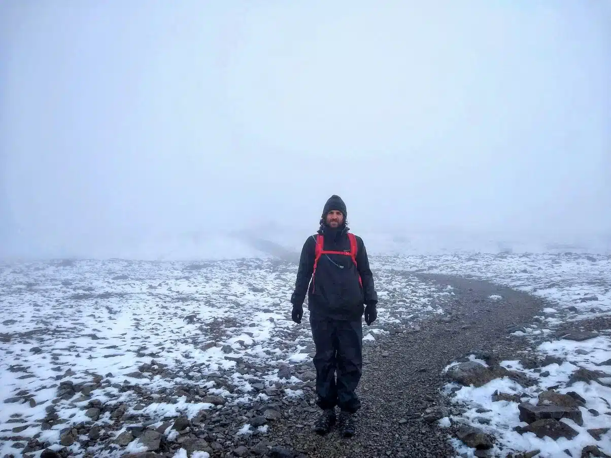
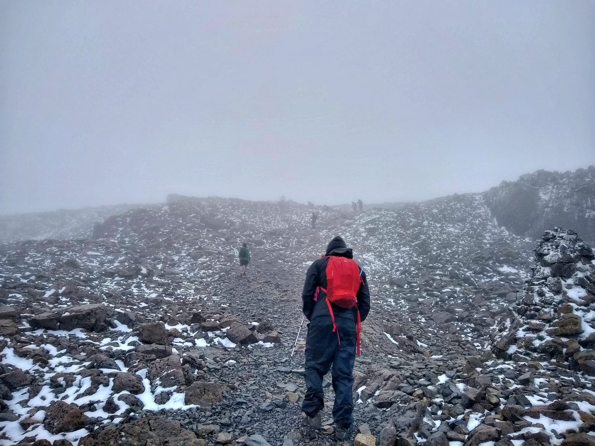
You gain over 1,000 meters along The Mountain Track, which means the climate can shift significantly from the start and it’s not uncommon to meet snow at the summit at any time of year. Visibility can also be poor at the summit so taking a compass and map along with the skills of how to use them are advised during quieter periods.
The Ben Nevis walk has magnificent views as you climb through the Red Burn Valley, eventually crossing the famous river. The trail then zig-zags up the peak eventually reaching the summit, where there are incredible panoramic views of the surrounding mountains of the west highlands.
In this article you will find:
- Why you should hike Ben Nevis
- Details on the ascent and descent
- How to get to the Mountain Track hiking trail
- Accommodation in the local area
- Amenities in the area
- What to take on your hike
- The ideal time of year to hike
If you have any questions about the hike then drop us a comment at the bottom of the page or tell us what you thought of the hike.
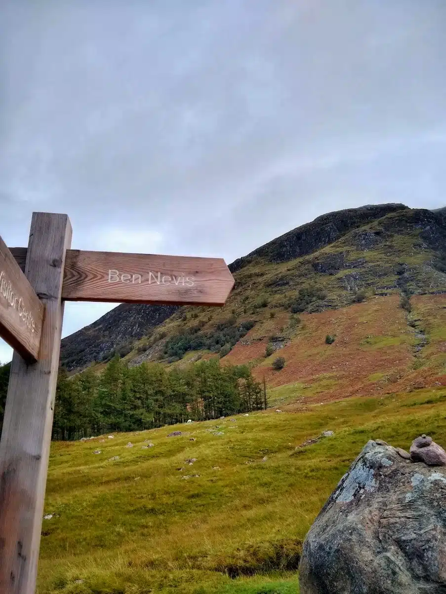
Ben Nevis Mountain Track hike details
- Hiking distance: 10.5 miles
- Hiking duration: 6 – 8 hours
- Altitude: 1,345 meters
- Elevation gain: 1,145
- Difficulty: moderate
- When to hike: From May to September. Climbing outside of this window may require experienced mountaineering skills and knowledge as the peak will be covered in snow and conditions will be difficult.
- Suitable for: All ages as there is a clearly marked trail and no sharp drops besides closer to the summit.
Why hike Ben Nevis?
Ben Nevis is the king of the West Highland Way and a hike on many peoples’ bucket list. Translating from ancient Gaelic to mean “mountain with its head in the clouds”, whether you’re an avid hiker or newbie wandered, this peaks never fails to impress.
Once a gigantic volcano which erupted and exploded in on itself millions of year ago, this prehistoric gargantuan has presided over these lands and has long been admired as a place of beauty and adventure.
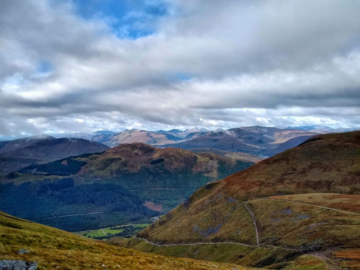
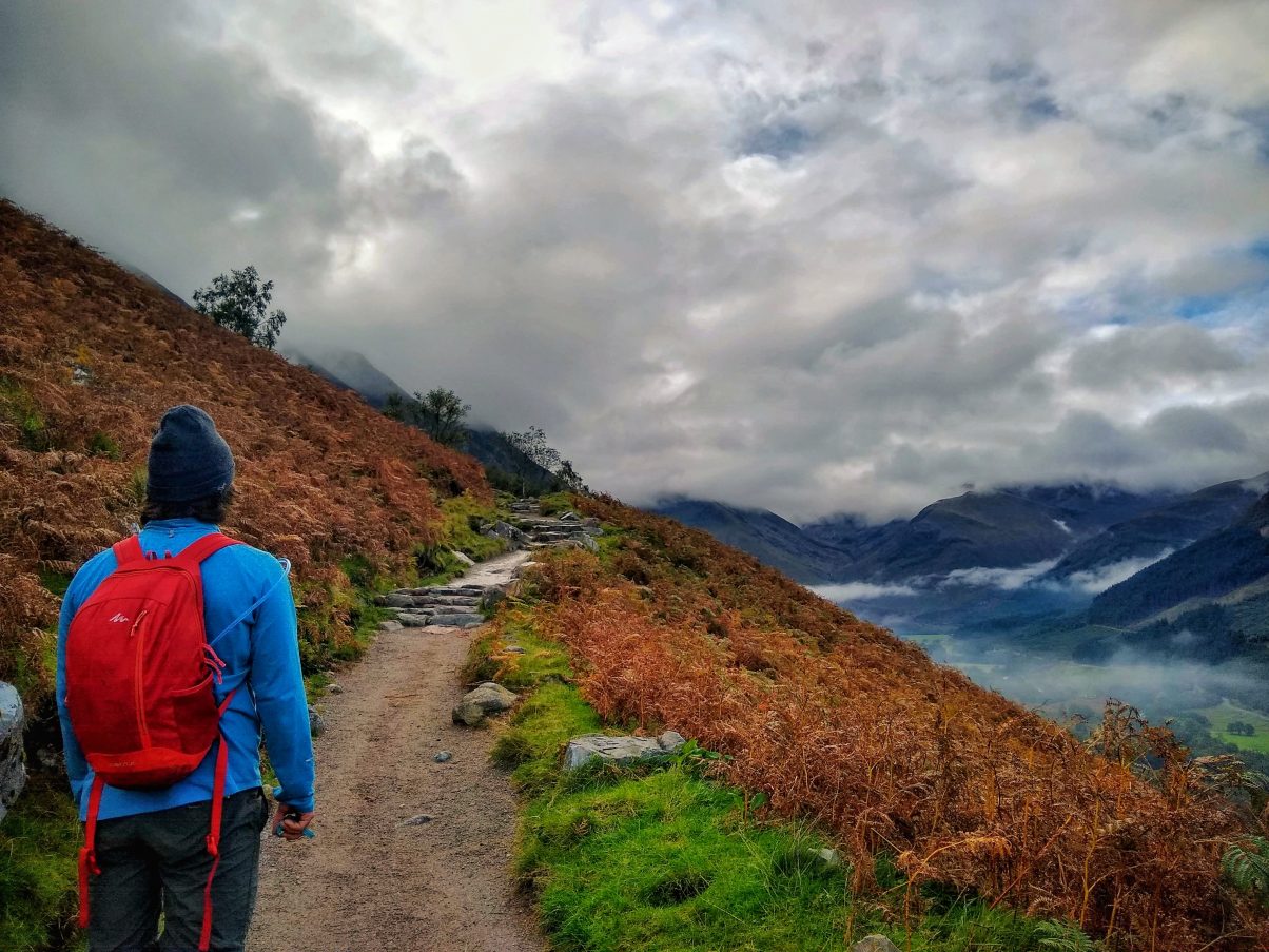
As you climb through the meandering valleys you’ll have incredible views over the glistening lakes. Continuing the hike, the rugged peaks sprawl out around you, draped in deep green foliage.
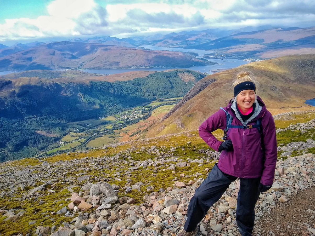
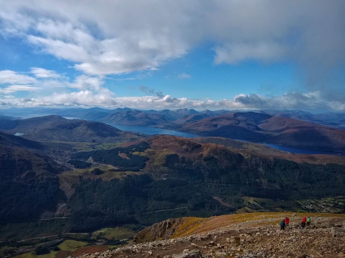
As you step on to the summit plateau the potential views get even better as you take in the vastness of your surroundings. In the southwest, you’ll have views of Lock Linnhe reaching out across the land whilst in the foreground sights of the iconic mountains, the Mamores and Glen Coe.
The ease of the route to access and climb means that this is a popular hike for all ages and abilities, though a decent level of fitness or determination is best. Ben Nevis has over 125,000 visitors a year who come to admire its greatness as they hike up into the clouds.
For more hiking resources and outdoor inspiration, be sure to sign up for our mailing list below!
Want to do more hiking in the UK? Chcek out these best hikes in the UK you need to explore
Ben Nevis Mountain Track Ascent
The mountain track, also known as the pony track or the tourist route, is the most popular route up Ben Nevis. It was originally called the pony tracks when built in the 19th century. The track would be used by pack ponies that would carry supplies to a weather observatory in use between 1883 to 1904. Although it’s no longer in use, the remains of the observatory remain and it’s now covered in stickers left by hikers from around the globe.
You can access the pony track from three locations in Glen Nevis:
- The Ben Nevis Visitor Centre – large pay and display car park, public toilets, information centre
- Ben Nevis Inn – limited free parking, pub offering accommodation
- Glen Nevis Youth Hostel – limited parking, accommodation
Whichever starting point you chose they all join up to the mountain path where the route inclines along the lower part of the hill Meall an t-Suidhe. The hill is visible from Ben Nevis Visitor Centre and is often mistaken for Ben Nevis – though it’s in fact nearly half the height!
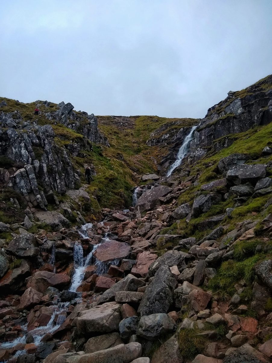
From here you will cross a small bridge that turns right, opening up into a valley with the River Red Burn flowing through. Then the path climbs more steeply up to Locahin Meall and t-Suidhe. This is known as the “halfway lochain” despite the fact it’s not actually halfway.
From here the path becomes a little easier giving your weary legs a break before you clamber up further. The path turns right and from here you cross Red Burn which is the real halfway point. This is a good point to check how long the hike has taken you so far to assess how much longer you’ll likely need.
Continuing on, the famous zig-zag begins as the trail climbs up the western side of the peak. The track continues to zig-zag until you reach the summit plateau at 1,200 meters, from here the incline is not as steep but it’s not uncommon for it to be covered in snow. You’ll come to the corner of Gardyloo Gully where you need to tread with caution to avoid the cliff edges, be careful with small children here. The summit is then 150 meters northeast, marked with the remains of the weather observatory.
Take care when at the summit as the surrounding cliffs are very steep and in poor visibility the path can often be covered under snow.
Descent
You descend the same way you climbed, across the summit plateau to meet back up with the zig-zag path to go down. Visibility can often be poor at the summit so taking a map and compass is often advised.
The great thing about the descent is the view of the stunning surrounding peaks and valleys stretched out before you as you hike down!
Join the gang and recieve your own ethical adventures planning guide for your next trip
Getting to Ben Nevis
However you’re travelling to the trail be sure to consider your carbon footprint. What may seem like the most convenient option may not be the greenest choice. The Ben Nevis trailhead is an easily accessible route from Fort William with public transport whether you are travelling from near or far. Can you get a train or bus? If driving is your only option then perhaps looking on lift-share websites, or offering a lift yourself to other travellers, you’ll be surprised how popular you’ll be helping out a fellow hiker.
Travelling by car
There are some beautiful drives in Scotland, making going by car a popular option.
The closest town to Ben Nevis is Fort William which is accessible via the A82. From here you can drive to Glen Nevis, the valley in which the south and west sides of Ben Nevis sits. From the A82 roundabout, south of the river bridge is Glen Nevis Lane. It winds past “Braveheart” car park to Ben Nevis Visitor Centre where the walk begins.
Arriving at Ben Nevis with public transport
As I mentioned Fort William is the closest town with a train station and trains that run regularly from Glasgow and the surrounding cities. From the station you can take the N41/42 bus route to Ben Nevis or some choose to walk as it’s less than two miles.
Car Rental near Ben Nevis
If you’re staying in the area, in which case lucky you as you’re spoilt for choice with hiking routes and stunning surroundings, then you may wish to rent a car.
Eurpocar is a popular choice for visitors in the area and the closest pick-up point is Inverness Centre Eastgate – find their rates here!
Cycling to the Ben Nevis walk
Arriving by bicycle is possible from Fort William. Bikes are permitted on the train from Glasgow and other major cities but you need to reserve a place for your bike beforehand. From the train station, you cycle west towards C1162/Glen Nevis then turning right on to C1162/Glen Nevis. At the roundabout take the second exit on to Belford Road A82, then turning left on to Middle Street where you will soon come to The Ben Nevis Visitor Centre on your right to start the hike.
Make the most out of your trip with this Scotland west coast road trip
Accommodation near Ben Nevis
Airbnb
Fort William and the surrounding area is brimming with homestays and cottages that have stunning views of the local peaks. From cosy cabins to modern rooms there’s a whole bunch of options on Airbnb plus if you click here you can get £34 off your first stay – winner!
Ben Nevis camping
Around Ben Nevis and Fort William, you’ll also be able to find plenty of camping options. We stayed at the Glen Nevis Campsite, which was awesome but camping wild in Scotland is also a great choice. Check out our guide to wild camping in the Highlands for more info!
Amenities around Ben Nevis
Fort William is the closest town to Ben Nevis with all the amenities you could need including; several supermarkets, some cosy pubs and a banging Indian restaurant. After completing our Three Peaks Challenge by Bike we feasted to our heart content so can vouch for its greatness!
What to take on your hike
Depending on the time of year you’re hiking you can encounter extreme differences in the conditions on Ben Nevis.
Take a look at our Hiking Packing List as this covers all bases including;
- Hiking essentials
- Hiking clothes for summer and winter depending on when you’re going
- Medical and safety equipment – hopefully, you won’t need it but if you do you’ll be darn glad you packed it
- Food and water – always an essential
If you’re new to hiking I also recommend checking out our Beginners Guide to Hiking.

Navigating the mountain track
Whatever time of year you plan to do the Ben Nevis walk it’s highly recommended you take a map, compass and knowledge of how to use them.
Even in warmer temperatures, it’s not uncommon to have snow at the summit which can make the trail difficult to spot. This is particularly dangerous as there are steep cliff drops. The plateau at the summit is vast and flat making it all that much more difficult to navigate in the snow.
In colder months visibility is often poor so having a map and compass ensures you don’t stray from the trail.
Ordnance Survey maps are a top choice amongst hikers due to their accuracy and ease of use. You can also get waterproof versions which are ideal when hiking in the Scottish Highlands – it’s partial to a spot of rain!
When to hike Ben Nevis
Between May to September is the ideal time to hike as the chances of reasonable weather are higher with more hours of sunlight.
However, as I mentioned, even within this window you can often find snow at the summit as well as heavy rain, strong winds and poor visibility. Always check the weather before you hike and pack gear accordingly. Mountain forecast is a good place to check as they give a forecast on conditions at sea level and as you climb how this changes.
If you’re hiking in the warmer months check out these top tips for hiking in hot weather.
If you have any questions about the hike let us know in the comments below. Also if you’ve done the hike we would love to know what you thought of it!
Keep exploring…
The Complete Guide to Hiking the Pyg Track, Snowdon
Peak District Walks: A Complete Guide to this Stunning UK National Park
Sustainable Hiking Tips + Planning Guide for Eco-Hikers


